


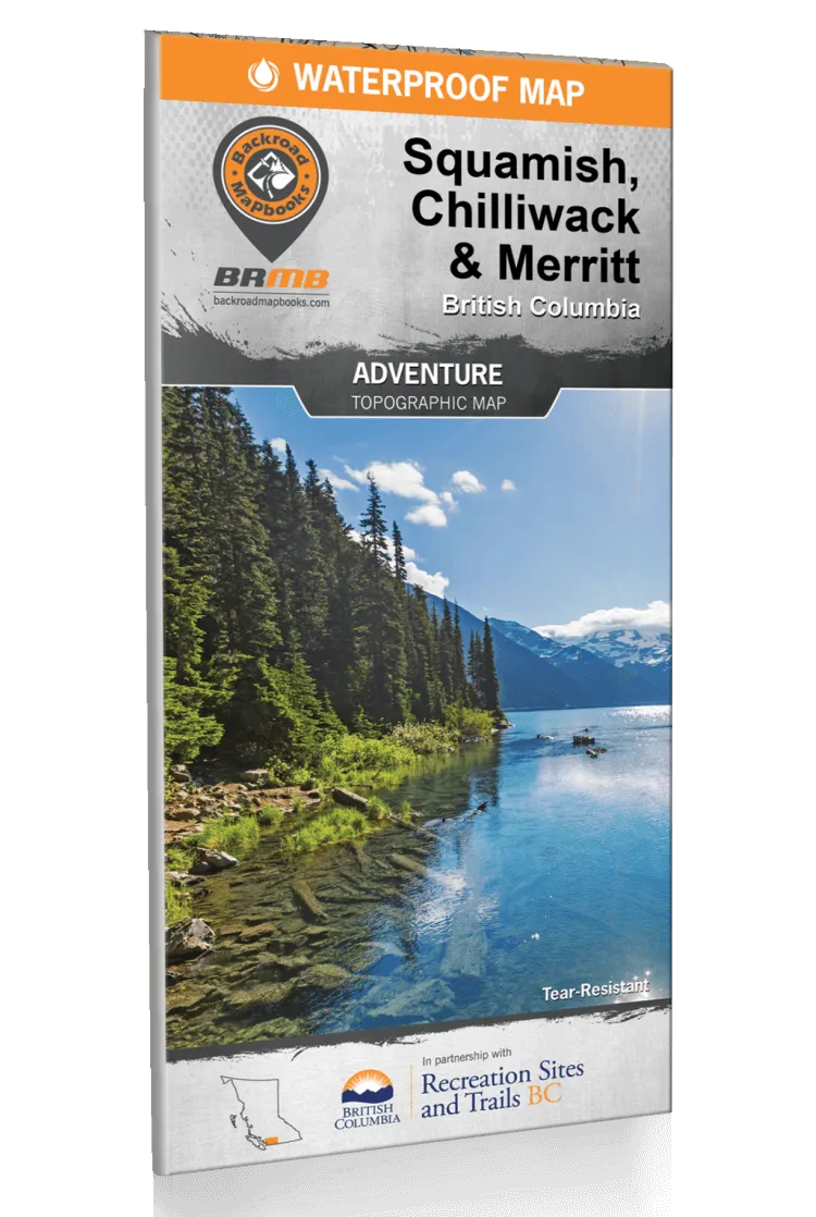
Product Details
+
Backroad Mapbooks are an essential piece of equipment for any adventure. These are highly detailed mapbooks showing roads, trails, and lakes you never even knew existed! (On a personal note from us; we would never have seen half the places around BC that we've discovered without our BRMB. We are always thankful for being given one as a Christmas present all those years ago, and it's still our go to on every trip since!)
Features:
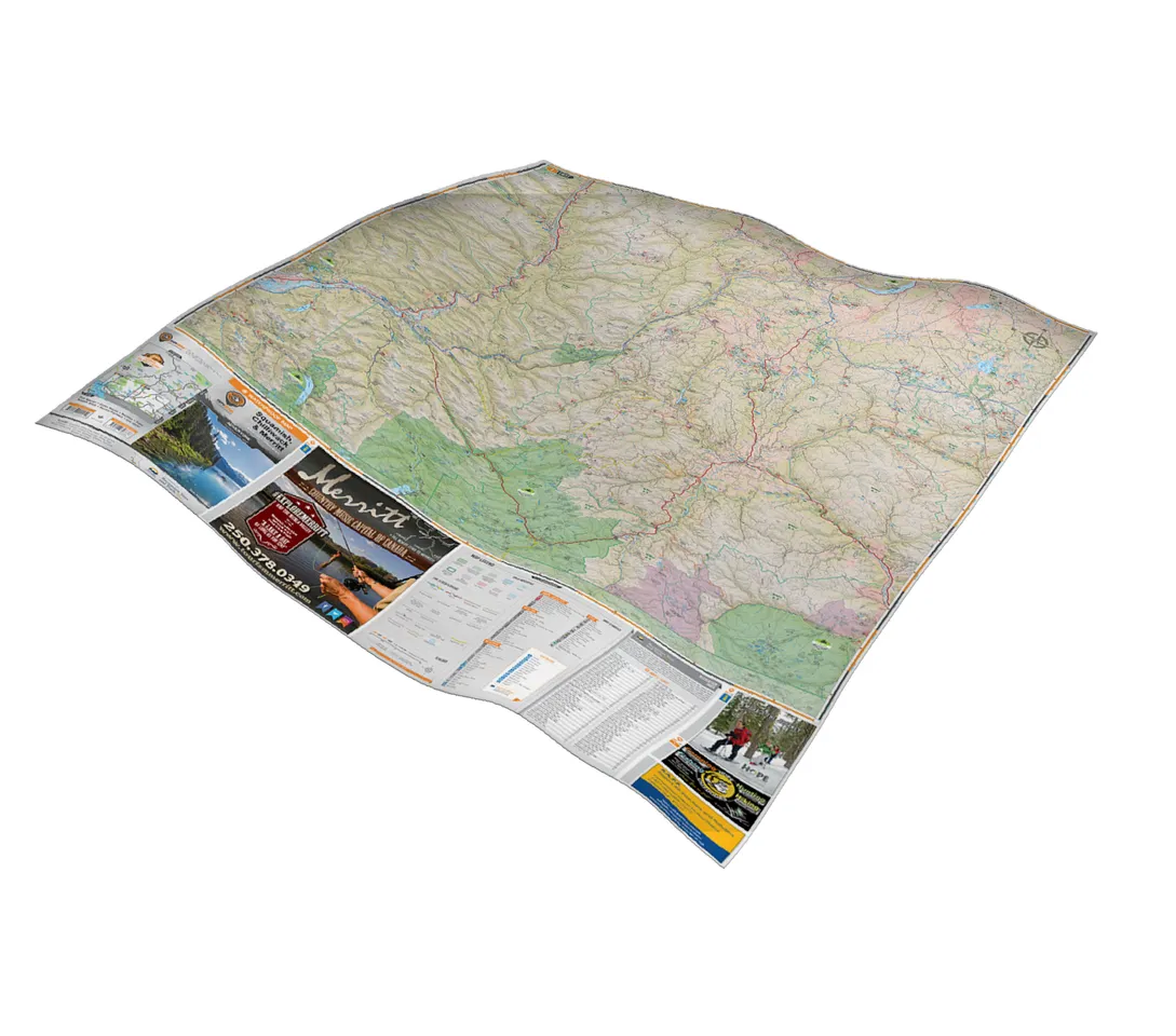
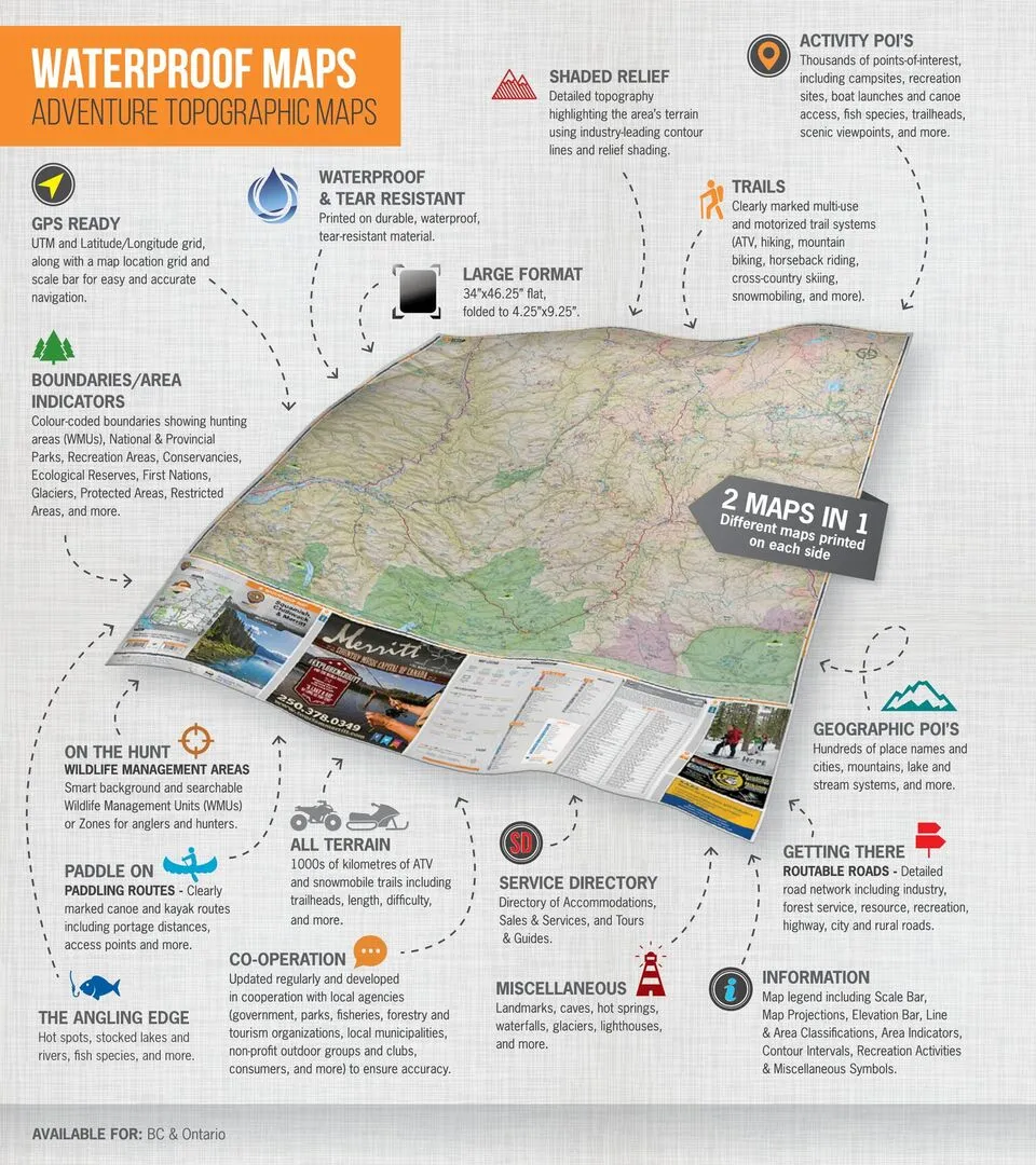
- Complete area topographic map coverage at 150,000 - 250,000 scales (province and region dependent)
- Extensive logging, industry and bush road coverage with unparalleled road system detail
- Labeled backcountry roads and recreational features
- Trail systems, including ATV, snowmobile & multi-use trails
- Paddling routes with access points and portages
- Parks and protected and natural areas with clearly labeled activities and amenities
- Recreation sites, conservation areas and regional park systems
- Wildlife Management Unit boundaries for anglers and hunters
- Elevation relief shading with labeled contours highlighting mountains and river valleys
- UTM grids and latitude and longitude bearings
- Crown and private/restricted land delineated
- Alberta and Manitoba township grids
- Informative descriptions of backroad attractions; fishing lakes, streams and ocean areas; hunting spots; paddling routes on lakes, rivers and ocean; parks and recreation sites; trails for hiking, biking, ATV and multi-use; wildlife viewing; and winter recreation, e.g. cross-country skiing, downhill skiing, snowshoeing and snowmobiling
- And much, much more!


